

What maritime AIS means
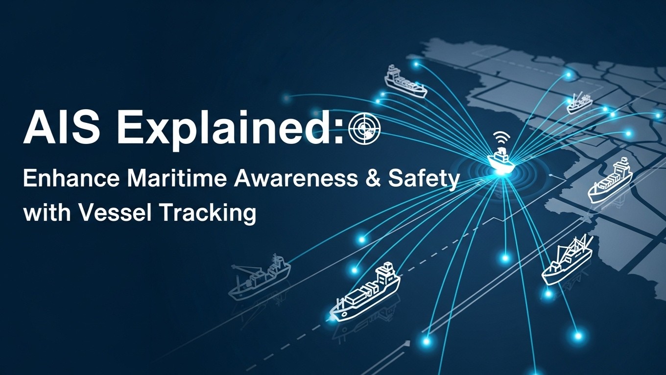
AIS stands for Automatic Identification System in maritime operations. It allows equipped vessels and receiving stations to exchange identification and movement information using VHF radio. A receiver or a compatible display can use those messages to show reported vessel positions and related details. This article concerns maritime AIS, rather than the Annual Information Statement used in Indian tax reporting.
The central benefit is context. A position on a display becomes more informative when it is associated with a vessel identity, reported speed and course. That information can help people understand surrounding traffic and support operational coordination. Its value depends on the accuracy, freshness and completeness of the data received.
How a vessel becomes a track on a screen
An onboard AIS installation combines information from connected equipment and configured vessel details into radio messages. Receivers within suitable radio coverage can collect those messages. Shore-based networks and satellite receivers can also receive AIS transmissions, allowing service providers to assemble wider views of vessel activity.
A public tracking website adds another layer between the vessel and the viewer. It receives data, processes messages and chooses how to display them. A position shown online is therefore not necessarily a live observation at the moment the page is opened. The timestamp and the service's presentation rules matter as much as the symbol on the map.
The main categories of information
Identity and vessel particulars
Messages may contain identifiers such as the Maritime Mobile Service Identity, or MMSI, together with vessel name and other particulars supported by the equipment and message type. These fields help distinguish one reported target from another. Incorrect configuration can associate a track with the wrong details, so identity information should be checked where it affects an operational decision.
Position and movement
Position, speed over ground and course over ground describe reported movement. Heading describes the direction the bow points and is not necessarily identical to course over ground. Current, wind and manoeuvring can create differences. A reader should avoid treating all directional values as interchangeable or assuming an unavailable field has a valid zero value.
Voyage and status information
Some AIS messages include voyage-related fields such as destination and estimated arrival time. Their availability depends on the installation and message type, and some information relies on manual entry. A displayed destination may be abbreviated, outdated or entered inconsistently. Treat it as reported information rather than proof of a confirmed berth or cargo delivery.
Class A, Class B and receivers
Class A and Class B describe different categories of AIS equipment used by different vessel groups. They differ in technical operation, message content and reporting behaviour. Class B equipment also has variants, so describing every Class B unit with one fixed power level or transmission interval is misleading. Consult the specific equipment documentation for technical details.
A receiver-only installation can listen for messages without broadcasting its own vessel information. That distinction matters when someone assumes that seeing other vessels means they can also see the viewer. The type of equipment, installation quality and connected sensors all influence what information is exchanged and how reliably it appears.
What AIS contributes to maritime awareness
For trained personnel, identity and movement information can supplement other observations and support an understanding of traffic patterns. Shore teams may use reported tracks to support port coordination, vessel monitoring or incident review. Historical records can help reconstruct reported movements, provided the analysis accounts for coverage and missing messages.
AIS is one information source within a wider operational picture. It does not make every vessel visible and does not establish that every displayed field is correct. A small craft, a failed installation or a reception gap may leave no current track. Decisions involving navigation require qualified judgement and the appropriate onboard procedures and information sources.
Why a vessel may disappear from a public map
VHF reception depends on the transmission path, antenna conditions and receiving coverage. Shore networks have geographical limits. Satellite reception can extend coverage but does not make every transmission available immediately on every consumer service. Processing, subscription arrangements and display choices can create further differences between tracking platforms.
A missing update therefore does not by itself prove that a vessel has stopped, changed destination or deliberately ceased transmitting. Record the last reported time and position, then seek corroborating information before drawing a conclusion. The same caution applies when a service draws a line between two positions across a long reception gap.
A practical checklist for reading a vessel track
- Confirm which identifier the service uses and whether the vessel details are consistent.
- Read the timestamp of the position, not only the page refresh time.
- Check whether the data is described as terrestrial, satellite or otherwise sourced.
- Distinguish course over ground, heading and speed fields.
- Review gaps before interpreting a plotted route as continuous movement.
- Verify important arrivals or departures with the relevant operational contact.
When comparing two services, use the same vessel identifier and observation time. Different reception networks can produce different update histories without either screen representing a current complete view. Save the relevant timestamp with any screenshot or exported record so later readers understand what the evidence actually showed.
How exporters should use AIS information
An Indian exporter may consult vessel tracking to understand a shipment's broader progress. That can support a conversation with the freight forwarder, but the vessel's position is not proof that a particular container is onboard, discharged or available for delivery. Cargo status requires the shipment documents and information from the parties handling the consignment.
For financial planning, translate a verified delay into the relevant cash-flow effect: later buyer collection, additional storage cost or a longer funding cycle. Keep the observation and the commercial assumption separate. A ship arriving near a port does not establish the date on which export proceeds will be received.
Keep maritime tracking separate from financial reporting
Finxora's project report software prepares financial project sections, including projected statements and debt-service workings. Vessel tracking evidence can inform an exporter's own timing assumptions, but it should not be presented as an automated AIS feed or a maritime feature of the product.
For general financial calculations, visit Finxora tools. Keep the evidence trail from shipping update to revised assumption to financial consequence. Used with timestamps, corroboration and a clear understanding of its limits, AIS adds context to maritime operations without turning a public map into proof of navigation safety, cargo status or payment timing.